
By Ian Gedicks
Nutrient loading and subsequent eutrophication are a growing concern in the Chesapeake Bay. As a result, nutrient and sediment Total Maximum Daily Loads (TMDL) were established by the United States Environmental Protection Agencfor the Chesapeake Bay. The TMDL limits are far reaching, affecting the Susquehanna headwaters in Delaware County, NY. In order to help achieve the TMDL, Delaware County Soil and Water Conservation District (DCSWCD) received a National Fish and Wildlife Foundation (NFWF) grant from Upper Susquehanna Coalition (USC) to conduct a geomorphic assessment on Ouleout Creek, a tributary to the Susquehanna River.
The goal of this assessment was to estimate nutrient loading due to streambank erosion along the main stem of Ouleout Creek upstream of East Sidney Lake in Delaware County, New York. Eroding banks were geolocated during a Stream Feature Inventory and assessed using the Bank Assessment for Non-point source Consequences of Sediment (BANCS) model. Annual eroded volumes were calculated for each eroding streambank using one of two methods. The first method used a combination of field measurements and GPS points superimposed on orthoimagery in ArcGIS to determine an eroded volume of sediment. The second method used a combination of field measurements and the BANCS model to determine an eroded volume of sediment. Representative soil samples were taken from eroding stream banks and tested for total nitrogen (TN) and total phosphorus (TP) concentrations.
Nutrient loading rates were then determined for each eroding streambank. In total, 5,500 cubic yards of sediment, 11,000 lb. of TN, and 3,900 lb. of TP are estimated to erode annually from streambanks along the assessed section of Ouleout Creek. Reaches were delineated and ranked by their volume of sediment, estimated mass of TN, and estimated mass of TP eroded from the streambanks in each reach.
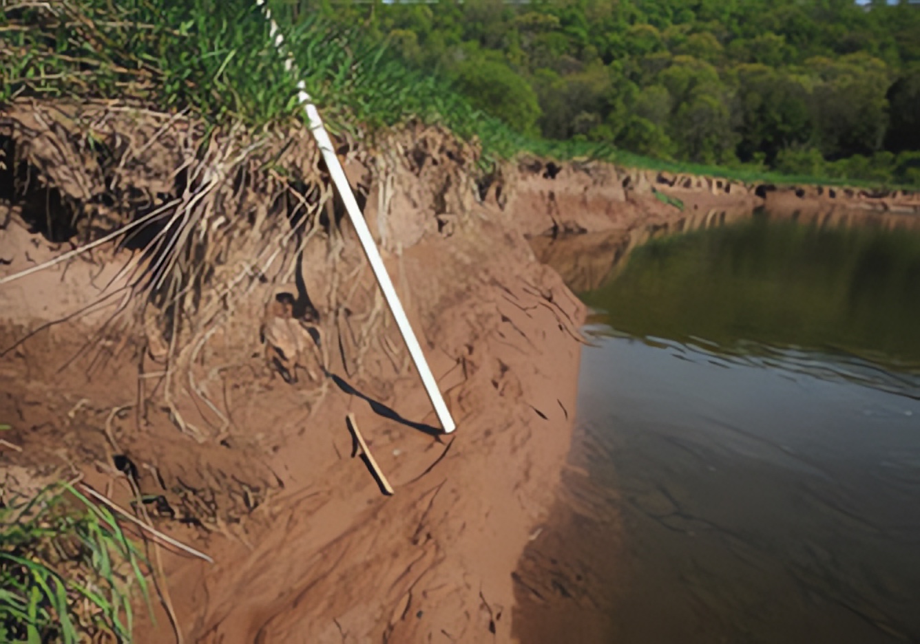
Streambank erosion along the Ouleout Creek – Photo: DCSWCD
Several sites of erosion accounted for a disproportionate amount of the eroded material along the Ouleout. Common characteristics of these sites were the lack of an adequate riparian forest buffer along the streambank and the presence of excessive depositional features within the stream channel. The lack of a riparian forest buffer, and the stability their woody roots provide, leaves streambank soil unprotected from the erosive forces of the stream. The excessive depositions throughout the Ouleout contribute to existing erosion by forcing streamflow into the streambanks, exacerbating erosion and subsequent sediment and nutrient loading. In addition, many of these sites are channel meanders migrating downstream. Meander migration is a natural fluvial process; however, meanders can easily become an area of instability if they erode into a field with no riparian forest buffer. Once an overly sinuous planform establishes itself, much time must pass and erosion must occur before the stream rights itself.
The sites of erosion estimated to load the greatest amount of nutrients and sediment should be targeted for future stream restoration projects. These sites of erosion could generally be remediated by stabilizing the eroding streambanks, resizing the channel and excessive depositional features to appropriate bankfull dimensions, and establishing an adequately sized riparian forest buffer.
It is important to note that the environmental concerns associated with streambank erosion encountered in this assessment are not unique to Ouleout Creek. If other streams throughout the region are similar in erosion characteristics, this would mean streambank erosion is a substantial contributor of nutrients and sediment throughout the Upper Susquehanna Watershed. Therefore, targeting the sites of erosion contributing the greatest amount of sediment and nutrients for remediation would have a substantial impact on improving the water quality of Ouleout Creek. It would also, in turn, benefit the Upper Susquehanna Watershed and Chesapeake Bay.
Ian Gedicks is a technician with Delaware County Soil & Water Conservation District (DCSWCD)